What makes a nature destination a geopark?
The UNESCO Global Geoparks network supports the conservation of geological heritage while fostering education, sustainable development, and opportunities for local communities
Posted by Sol de Cuba, 24/10/2026
A Geopark is a territory with geological heritage of international value; it goes beyond mere rocks to integrate nature, culture, history, and community.
UNESCO envisions them as “living laboratories” where science, the community, and visitors engage in a dialogue with Earth’s history.
They are inhabited territories committed to sustainable development. They emerge from a bottom-up approach: local communities take the lead, generating jobs, responsible tourism, and a deep sense of pride in their land.
Their mission is clear:
- To protect and promote geological heritage
- To educate and inspire curiosity about the planet’s history
- To promote sustainable and responsible tourism
- To strengthen local identity and development
- To conserve nature, culture, and traditions
- To foster scientific research and cooperation
- To raise awareness about geological risks and climate change
Guamuhaya Geopark holds a secret within its rocks
On October 21, 2025, through Agreement No. 10240 of the Council of Ministers—published in the Official Gazette (Ordinary Issue No. 96)—the Guamuhaya Geopark was officially established. This day marks the beginning of a journey toward integrating science, education, and sustainable tourism, with the goal of achieving recognition as a UNESCO Global Geopark.
The Guamuhaya Geopark is located in the mountain massif of central Cuba, spanning the provinces of Sancti Spíritus, Villa Clara, and Cienfuegos. It is bordered to the north by the Santa Clara Heights; to the east and west by the valleys of the Zaza and Arimao rivers; and to the south by the Caribbean Sea.
The area features metamorphic rocks and an extensive karst network comprising depressions, caverns, and heritage geosites. It is home to systems such as Guajimico, Codina, and Martín Infierno—the latter housing one of the world’s largest stalagmites, sculpted drop by drop over millennia.
It also features rivers that form waterfalls, such as El Caburní and Vegas Grandes.
Its flora is diverse, and its fauna includes a large number of endemic species.
The Loma San José trail in the Guamuhaya Geopark bears the traces of what the water washed away.
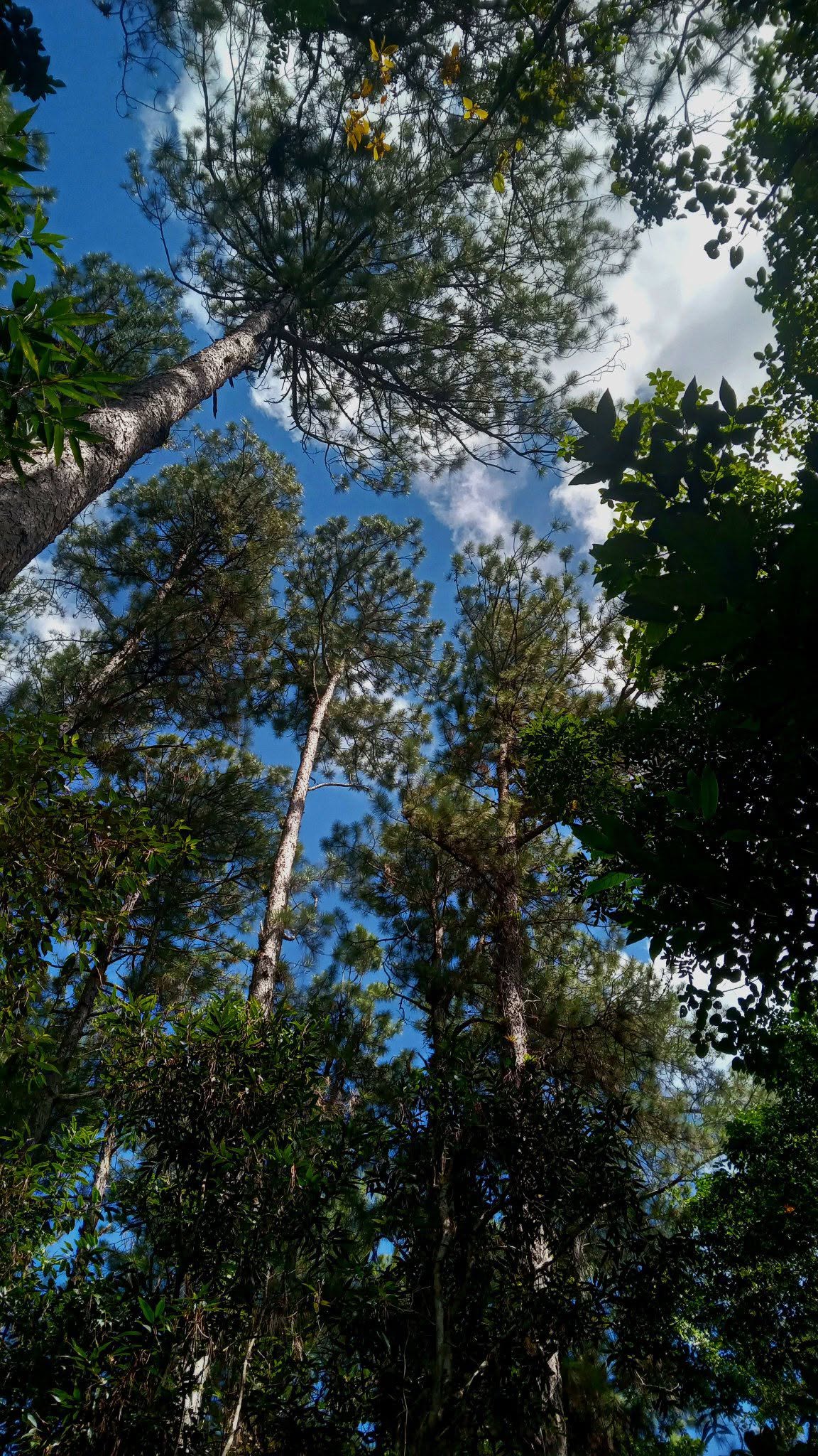
The Loma San José trail begins almost directly across from the well-known Mi Retiro restaurant and stretches for about 1.2 km. The walk takes place almost entirely within the forest, so the sun is not an issue.
Much of the route involves an ascent; the path sometimes skirts a hillside, runs alongside ravines, or climbs directly uphill. In several places, one can see isolated rock blocks with lines that follow the orientation of the strata. Some are fractured, while others feature karst hollows. There is no doubt that water was once present.
Calcium carbonate is found in many of Cuba’s rocks; notably, it is a basic (alkaline) compound. In some areas, it is used to lower soil pH and improve agricultural productivity. Rainwater is sometimes slightly more acidic than the calcium carbonate-rich rocks; consequently, it dissolves and carries the mineral away. Because the pH difference is minimal, this process does not occur during a single downpour; rather, it takes thousands upon thousands of years to create the curious shapes water carves into the rock. Returning to the San José trail, these isolated blocks bear traces of water flow in the form of fine lines. If a layer contains varying amounts of calcium carbonate, it becomes more susceptible to this “dissolution” process; this is visible in the lines that mark the arrangement of the strata, resembling the pages of a giant book.
This pattern is visible on the sides of the blocks, though the most striking view awaits at the San José lookout point at the end of the trail.
Visitors can climb to the top of a large block—which is actually split into two or three sections. From there, one enjoys a 360-degree view of a significant part of the Guamuhaya Geopark and beyond, stretching south to where the horizon merges with the sea.
The water-driven process observed on the vertical faces of the rocks is also visible on their horizontal surfaces.
This dissolution process has eroded the fine layers, creating cavities with fascinating shapes and hues—some elongated, others smaller. These hollows reveal the boundaries of the layers in cross-section, much like removing a slice from the center of a cake to reveal the arrangement of the layers within.
Text and photos: Guamuhaya Geopark platforms